
Browsing UNEP Knowledge Repository by Subject "satellite image"
Now showing items 1-8 of 8
-
Adaptation to Climate-change Induced Water stress in the Nile Basin - A vulnerability assessment report
(UNEP, 2013)The Nile River Basins rich ecological resources are vital to the 238 million people living in the region. The basins natural environment is the ultimate source of its economic activities (production and consumption) and ... -
Aerial survey of the destruction of Mt. Kenya, Imenti and Ngare Ndare forests reserves
(Kenya Wildlife Service (KWS), 1999)The aerial survey of the destruction of Mt. Kenya, Imenti and Ngare Ndare forests was undertaken to provide a rapid systematic assessment and monitorable baseline information on these forests, as a sample to represent the ... -
Aerial Survey of the Destruction of the Aberdare Range Forests
(UNE, 2002)The main goal of the aerial survey was to provide factual information on the type, magnitude and location of the main threats to the forests of the Aberdare Range. It will help stakeholders to determine the effectiveness ... -
Aerial Survey of the Threats to Mt. Kilimanjaro Forests
(UNEP, 2002)This aerial survey report highlights some destruction of natural resources on Mt. Kilimanjaro. The report shows the type and extent of forest destruction that has taken place so far in the Forest Reserve, most of which are ... -
Atlas of Rwanda's Changing Environment - Implications for Climate Change Resilience
(Rwanda Environment Management Authority, 2011)The Atlas of Rwanda's Changing Environment is a visual account of Rwanda's state of natural resources revealed through maps, current and historical satellite images, aerial and ground photographs as well as narrative based ... -
From Hotspots to Hopespots: Connecting Local Changes to Global Audiences: UNEP Global Environmental Alert Service - July 2013
(2013)As changes to ecosystems and the environment continue to occur in response to growing population pressure and natural processes, ways to measure and observe these changes on a regular basis will become increasingly important. ... -
Maasai Mau forest status report 2005
(Ewaso Ngiro South Development AuthorityThe Kenya Wildlife ServiceKenya Forests Working GroupUnited Nations Environment Programme (UNEP), 2005)The Maasai Mau forest forms the southern part of the Mau Forest Complex, Kenya largest closed-canopy forest area. It is a trust land indigenous forest managed by the County Council of Narok covering some 46,000 hectares. ... -
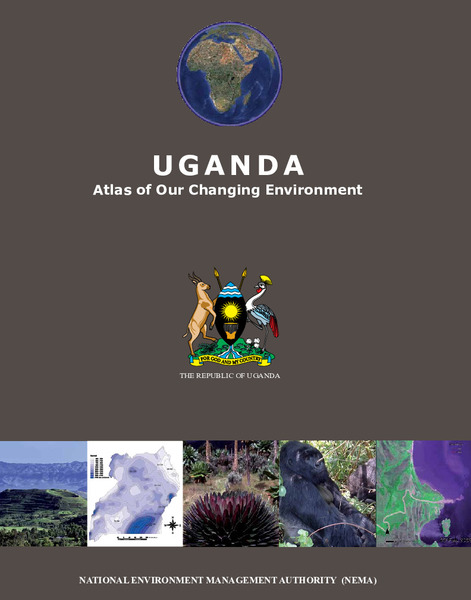
The Uganda Atlas - Evidence of Uganda's changing environment
(National Enviornment Management Authority (NEMA), 2012)The Uganda Atlas of Our Changing Environment, prepared by the National Environmental Management Authority of Uganda, provides extensive scientific evidence of Uganda's changing environment. Modelled after Africa: Atlas of ...